SERVICES
SERVICES INCLUDE IN PACKAGE
- Permit: Climbing permits process and Peak Royalty fee deposit.
- CKNP Fee: – Central Karakorum National Park entry fee & Waste Management Fee.
- Tax & Fee: -Toll taxes, Camping, parking and Crossing fee etc.
- Visa Invitation: – letters will be issued to the foreign nationals for visa process.
- Field Staff: -Daily wages and basic kits for Porters Sirdar, porters, cook, assistant(s), and their Insurance.
- Liaison Officer/Tour Guide: -Daily wages of Guide/ Liaison officer their equipment, allowances, travel, hotels, meals and insurance.
- Camping & Hotel Meal: -All meals during the trek and at Hotel as per itinerary.
- Domestic Flight: All domestic Flight to SKardu/Gilgit and Back to Islamabad as per itinerary.
- Transportation: -All Road transfers between Gilgit, Skardu, Askole or Hushe, and back to Islamabad as per mentioned in the itinerary.
- Personal Baggage: – Member’s personal baggage 75KGs /person way up to base camp and 50KGs/way back after Expedition.
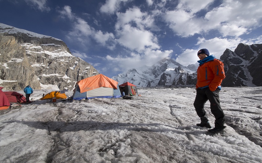
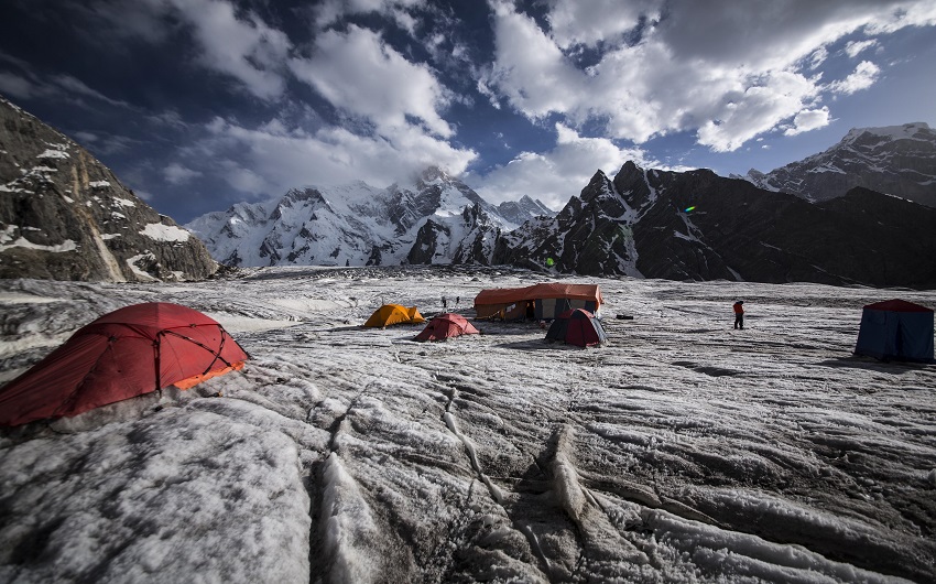
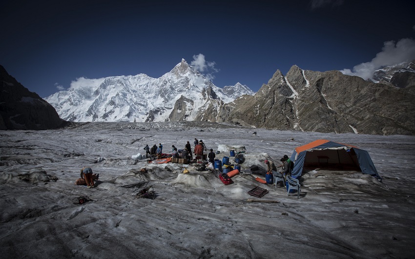
- Camping Equipment: -Complete camping equipment such as Sleeping tents, mattresses, mess tent, kitchen tent with tables & Chairs.
- Kitchen Utensil: -Complete Kitchen equipment, crockery, cutlery, fuel and related community gear.
- Arrival & Departure: -Assistance upon arrival & Departure at the airport, Porterage at airport, and hotels,
- Briefing & De-Briefing: – Arrange Official welfare & Farewell meeting.
- Accommodation: -Hotel & Camping Accommodation as per mentioned in the itinerary.
- Helicopter Bound: –Deposition of Helicopter Bound in Advance for Emergency Use only.
- Map & Certificates: –Trekking map and trip achievement certificate on Advance request
SERVICES NOT INCLUDE
- All International airfare, airport tax, excess baggage charges.
- In case of flight cancellations to the kick off point and Extra expenses due to road blocks or other reason.
- Personal Sleeping bags, personal trekking/climbing equipment and high-altitude food and oxygen
- Medications ground evacuations and helicopter rescue charges of any kind.
- Room services, laundry, beverages, phone/communication bills and items of personal nature.
- Insurance liability of member (s) and other under force majeure conditions.
- Pollution and Environmental fine or any other fine to be paid to the Government of Pakistan
- If need extra low/High altitude porters in case of access of free baggage allowance
- Optional excursions or deviations from the scheduled program
- Transfers to and from airports for participants making individual air arrangements.
- Any unforeseen expenses (just like road block extra hotel stay or if members stay more days at Base Camp)
- Any other service not mentioned in this condition sheet
High Altitude Porters
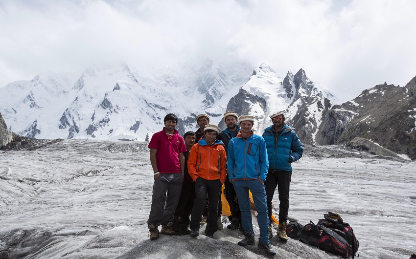
We can give you the best and most experienced high-altitude porters of Baltistan who all are prepared to work for this agency. Some of them have climbed K 2, most of them have reached the summits of Broad Peak, G I and G II at least once
.
At present, the best high-altitude porters come from the Khapulu area and from the village of Satpara near Skardu. The probably strongest of them all is Little Hussain. He was among the high-altitude porters who helped to carry down the body of Markus Kronthaler from the summit of Broad Peak in summer 2007
.


